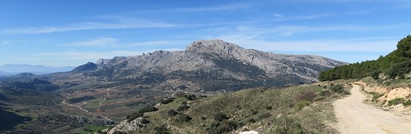
Small massif located in the northern part of Málaga Province within region called Axarquía.
Bordering with mountains Sierra Tejeda on the east, Sierra de Camorolos on the north and Sierra Sabar on the west. Basically this isolated massif is composed by two hills only: Gallo & Vilo.
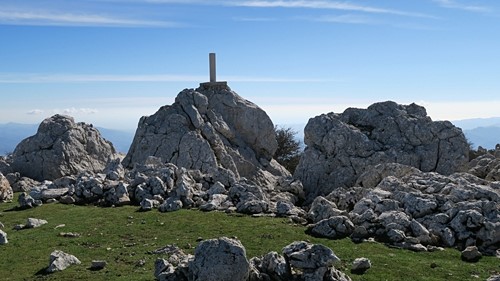
Pico del Vilo (1.415 m.a.s.)
Starting Point: Alfarnate.
Distance: 6 KM / 2 hours / 600 M elevation gained.
Difficulty: Low – easy walking trip with stunning views, not well signed but it is NOT necessary.
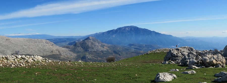
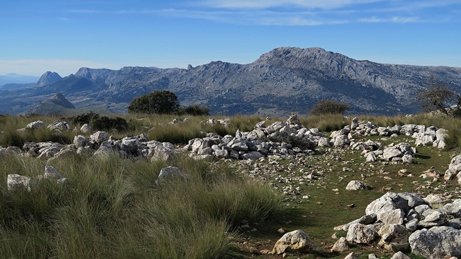
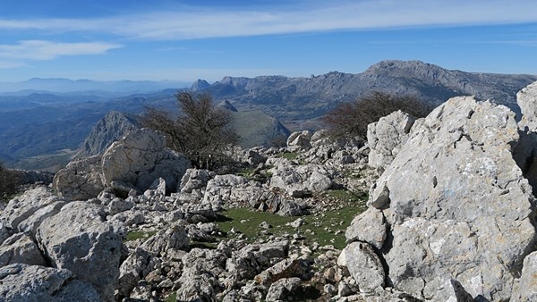
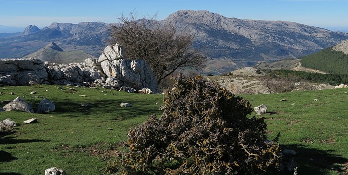
Lovely walk to the summit where all the surrounding hills and Mediterranean are withing the sight.
Route description
Leaving the car in Alfarnate main square or next to football field just follow muddy road up direction south. There is only one hill so it is easy to follow right path. Having walked almost 1 KM path turn sharply left along the tiny broadcast station with views over valley of the river “Río Sabar” and multi-peak Pico Fraile.
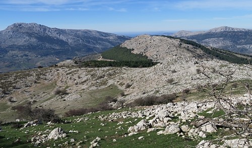
Keep walking along small farms heading to the forest ahead. There are any 2 KM of walk through forest before you reach upper part of hill covered by pastures and occasional bush.
Last section is left as the highest point, the plateau is ahead. Just follow paths of sheep to climb last kilometer. Rewarding the effort by spectacular views you can start your picnic.
Notes
- Bar and Restaurant – Alfarnate
- Small shop – Alfarnate
- No water during the track
- Venta de Bandolero / Alfarnate – famous restaurant dating XVIII century, located on the crossroad is considered the oldest one in Andalucía with delicious local gastronomy
