This nice massif is located on western part of Málaga Province, just half way between capital and Ronda city being the part of mountainous range Serranía de Ronda.
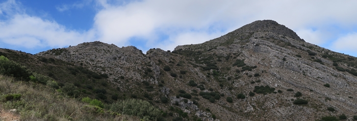
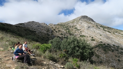
Composed by one hill called Grajo or Valdivia has a wild access through pine forest while upper section is a rocky crest.
Pico del Grajo / Valdivia (1.293 m.a.s.)
Starting Point: Mountainous pass “Puerto Martínez”.
Distance: 4 KM / 2 hours / 600 M elevation gained.
Difficulty: Low – an easy walk between pines and rocks.
Route Description
The car can be parked directly on the pass Puerto Martínez (720 m.a.s.) above village Casarabonela as there is enough space.
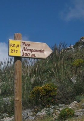
Follow the route PR-A 271 called Sendero Puerto Martínez-Alcaparaín gently up between pines taking direction east-north for any 1 KM. Then the path turns sharply left and it´s getting bit steeper.
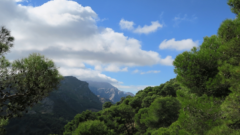
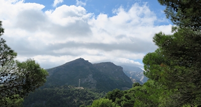
At any 900 m.a.s. there is a viewpoint over the valley of river Río Turón, tributary of huge damn Embalse del Conde de Guadalhorce. The trees are disappearing and the path becomes rocky for last 2 KM until you reach top.
There are beautiful views on the top over surrounding valleys and mountains like Sierra Prieta or Sierra de Agua.

Notes
- No water during the entire track
- Restaurant in Casarabonela
- Supermarket in Casarabonela
